
Overview
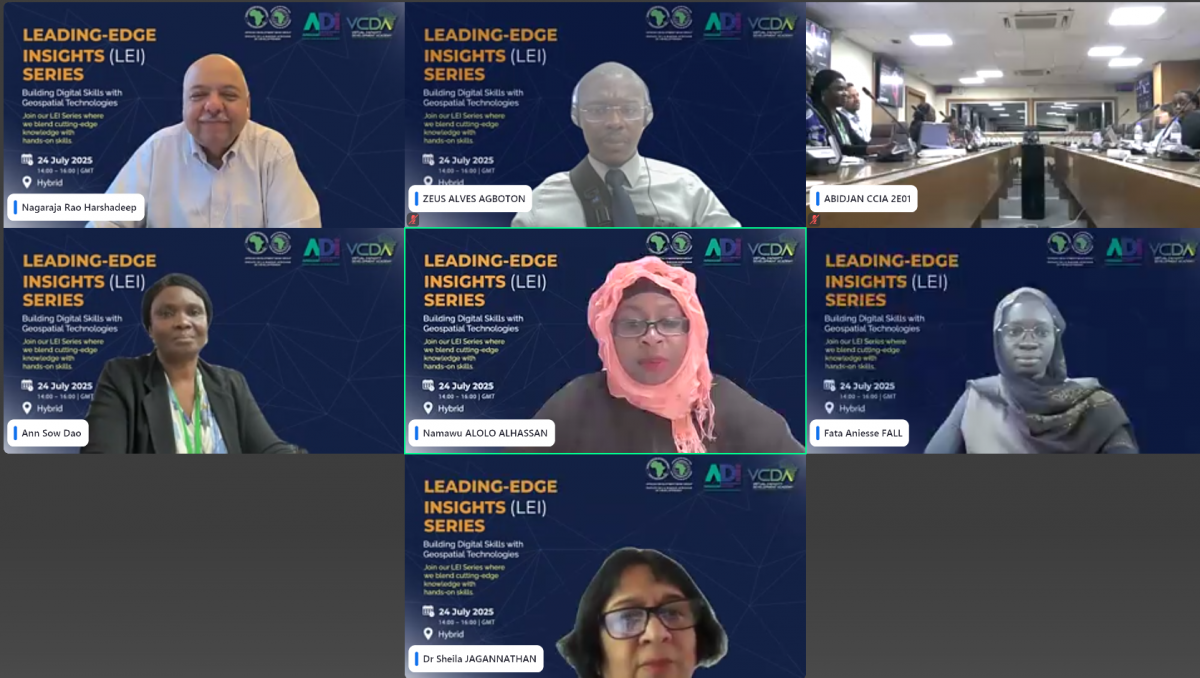
This session marked the first webinar in the LEI Series specifically dedicated to building digital skills, reflecting the African Development Institute’s growing commitment to equipping Africa’s workforce for a digital future. It focused on the transformative potential of geospatial technologies in solving development challenges, improving planning, and accelerating impact. Dr. Nagaraja Rao Harshadeep, a global leader in geospatial intelligence, delivered a compelling session that combined strategic insight with practical demonstrations. Participants explored how mapping solutions and spatial data can drive informed policy and decision-making across the continent, especially in the face of climate, infrastructure, and service delivery challenges.
Session Highlights
This highly engaging and hands-on session provided participants with immersive experience into the practical use of geospatial technology for development. Key highlights include:
- Live Demonstrations of Geospatial Tools: Dr. Harshadeep showcased several open-source and cloud-based tools used for mapping, monitoring, and analyzing development trends. Tools such as GeoNode, SERVIR, and World Bank’s spatial data dashboards were demonstrated in real time, offering participants a glimpse into their capabilities and impact.
- Applied Use Cases: Examples ranged from flood risk monitoring in West Africa to tracking infrastructure development in rural areas. A standout demonstration included a climate risk map that overlays population vulnerability with hazard zones, illustrating how such data can support resilient planning.
- Integration into Decision-Making: The session explored how governments and development agencies can embed geospatial insights into project design, policy formulation, and monitoring frameworks. Participants saw a lifecycle view of how spatial data can drive strategic and operational decisions.
- Capacity Development Emphasis: A recurring theme was the importance of local capacity to harness spatial technologies. The webinar emphasized the need to train local institutions in data literacy and analysis, with AfDB positioning itself as a central hub for such learning.
- Accessibility and Scale: Tools shared during the session are designed to be accessible even in bandwidth-constrained environments, ensuring scalability across different regions.
- Public-Private Collaboration: The session also touched on the growing role of partnerships with the private sector to expand data sources, deploy innovative mapping technologies, and promote entrepreneurship in geospatial innovation
Lessons from the Webinar
Key takeaways for attendees include:
- Data for Development: Access to real-time spatial data can radically improve project outcomes, especially in sectors like urban planning, agriculture, and disaster management.
- Simplicity and Accessibility: Many geospatial tools are intuitive and don’t require advanced technical skills, making them accessible to a wider audience of policymakers and practitioners.
- Contextualization Matters: Solutions must be localized. The speaker emphasized the need to adapt tools to African contexts, including local languages, data availability, and institutional capacity.
- Collaboration is Key: Partnerships between multilateral organizations, governments, and academic institutions are essential to scaling the use of geospatial tech in Africa.
- Continuous Learning: The session encouraged lifelong learning through digital platforms and underscored the role of virtual academies in delivering just-in-time, relevant knowledge.
- From Awareness to Application: A key takeaway was that capacity building must go beyond awareness to enable practical application of tools in participants’ day-to-day work.
Useful Resources
Livable Planet Observatory: https://www.worldbank.org/en/programs/livable-planet-observatory
-
- World Bank Geospatial Platform: https://maps.worldbank.org/
- GEF Portfolio (including AfDB)
- Spatial Agent mobile app (iOS, Android)
- KIDS Catalog: https://spatialagent.org/KIDS/
- World Bank Geospatial Platform: https://maps.worldbank.org/
- Corporate Scorecard: https://scorecard.worldbank.org/
Audience Questions and Discussion
The interactive Q&A session featured thoughtful contributions from practitioners across Africa and beyond. Highlights included: • How can countries fund and sustain national geospatial infrastructure? →Dr. Harshadeep emphasized leveraging multilateral partnerships, climate finance windows, and open-data collaborations to reduce costs and ensure sustainability. • What are the legal and ethical safeguards in spatial data collection?
→ Participants discussed data privacy risks, and the speaker noted that anonymization techniques and transparent data governance policies are essential. • How do we train non-technical staff in using these tools? → The AfDB and World Bank are rolling out modular e-learning courses and toolkits aimed at non-specialists. Peer coaching and in-country workshops were also recommended. • Can geospatial data be used in procurement and performance monitoring? → Yes. Examples were shown where ministries used GIS dashboards to track contractor performance and ensure delivery against


